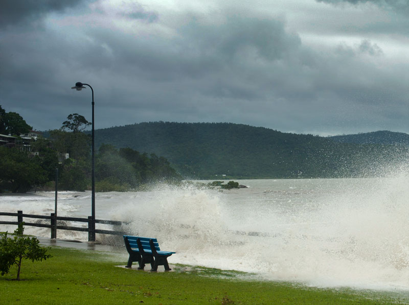
Tropical Cyclones in coastal areas often bring about storm tide, which is a rapid rise in sea level that moves inland very quickly. Storm tide can damage buildings, cut off evacuation routes and be the cause of injuries and even deaths.
If you live near the coast, it is vital to be aware of whether your home is at risk from storm tide and whether your evacuation route(s) might be cut off by rising water.
Whitsunday Regional Council Evacuation Maps
The community has spoken and Whitsunday Regional Council and the Whitsunday Disaster Management Group have listened. Cyclone Dylan in 2014 caused widespread storm tide inundation of low-lying coastal land of about 0.5 metres above king tide level. This could have been much worse if the cyclone had crossed near the high tide.
The community provided feedback that the existing Storm Tide Inundations maps were far too complex to understand and identify which colour zone or zones properties were located in. As a result, significant work has been undertaken by Council and local emergency services agencies to develop an updated set of Evacuation Maps (Storm Tide) for the coastal strip of the Whitsunday Region at risk of Storm Tide inundation or isolation.
The maps are for ocean based storm tide inundation risk only; they do not include cyclonic rainfall based flood risk or cyclonic wind damage risk.
The new zones have been developed by local emergency services working groups, taking into consideration information available from several sources including Storm Tide Inundations Maps, the AHD (Australian Height Datum) information, risks of properties becoming isolated, building plans, survey plans and local knowledge.
For maps and further information, see the Whitsunday Regional Council's emergency response page at www.whitsundayrc.qld.gov.au/our-council/disaster-and-emergency/respond.